What Is the Normal Lake Level at Lake of the Ozarks? A Detailed Guide
The normal lake level at Lake of the Ozarks is typically maintained around 660 feet above sea level, which is considered the full pool elevation by the U.S. Army Corps of Engineers. This level allows for optimal recreational use, shoreline access, and ecological balance.
Maintaining the lake at this elevation is crucial because it affects boating, fishing, property access, and water management downstream. Deviations can impact local businesses and habitats, as well as flood control measures.
This article explores how the normal lake level is regulated, what seasonal fluctuations occur, the impact of weather on water levels, and how to stay updated with current lake measurements.
Understanding the Normal Lake Level at Lake of the Ozarks

Definition and Measurement of Lake Levels
The normal lake level at Lake of the Ozarks is officially set by the U.S. Army Corps of Engineers and is measured relative to sea level. This elevation, known as the full pool, is 660 feet. Water levels are monitored using a network of gauges that provide real-time data.
These measurements help manage the dam operation and lake usage. The full pool level balances water storage for flood control, power generation, and recreational needs, representing the ideal height for the majority of activities on the lake.
Historical Fluctuations and Their Causes
Over the years, Lake of the Ozarks has experienced variation in water levels due to precipitation, drought, and dam management decisions. Seasonal rains often raise the lake above the full pool, while dry periods can lower it significantly.
Flood management may require temporarily lowering the lake, and extended droughts can affect how close the lake stays to its normal level. Monitoring these patterns helps predict and respond to changes affecting residents and visitors.
Seasonal Variations in Lake of the Ozarks Water Level
Spring and Summer Levels
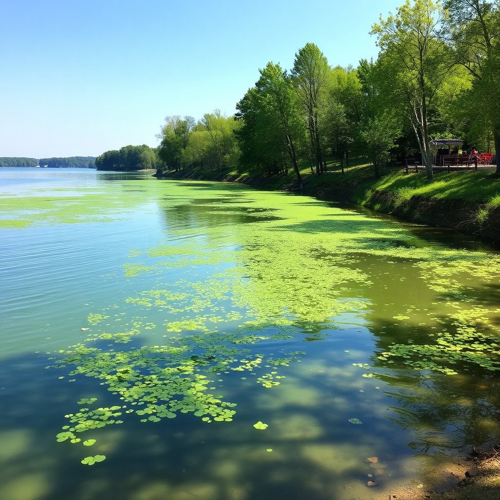
During spring, the lake often rises due to increased rainfall and snowmelt upstream, sometimes exceeding the normal 660-foot level briefly. Summer typically sees stabilized water levels as inflows and outflows balance out, supporting boating and swimming activities.
Summer lake levels near full pool provide excellent recreational opportunities but require monitoring to manage increased boat traffic and shoreline erosion risks.
Fall and Winter Changes
In cooler months, evaporation decreases and inflows reduce, sometimes causing levels to drop below normal. Winter lake levels might be intentionally lowered to prepare for spring runoff and prevent flooding.
Lower lake levels can expose shoreline areas and impact local businesses that depend on water access, but these fluctuations are part of a healthy annual cycle.
Factors Influencing Lake of the Ozarks Water Level
Weather Patterns and Precipitation
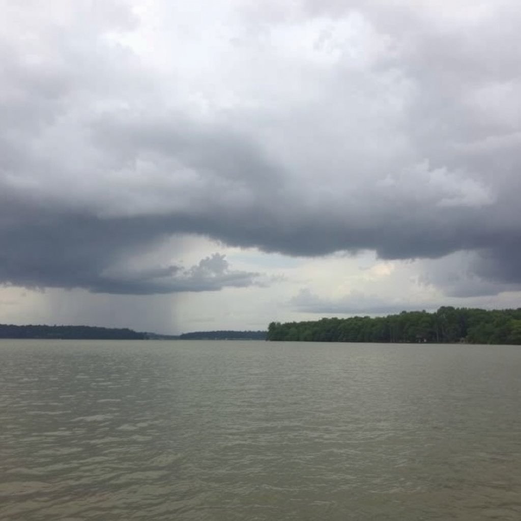
Rainfall directly impacts lake levels. Heavy storms can cause rapid rises, while droughts lead to declines. This unpredictable factor makes constant monitoring essential for safe lake use.
Storm runoff from surrounding land raises inflow, while prolonged dry weather reduces water entering the lake and increases evaporation, affecting the balance maintained at the normal lake level.
For more on this, see our related guide: Is It a Good Time to Buy a Lake House? Expert Insights for 2024.
Dam Operations and Water Management
The Bagnell Dam controls Lake of the Ozarks' water level by regulating outflow into the Osage River. Dam operators adjust flows to balance power generation, recreation, and flood control, directly influencing lake elevation.
Strategic releases lower the lake prior to large storms; conversely, holding back water elevates levels to the normal lake level during dry spells.
How to Check Current Lake Levels at Lake of the Ozarks

Using Official Sources and Websites
The U.S. Army Corps of Engineers provides up-to-date information on Lake of the Ozarks water levels through their official website and water level monitoring systems.
Daily reports and historical data are accessible online, allowing lake users to plan visits according to current conditions and anticipated changes.
- U.S. Army Corps of Engineers Lake Level Page
- Local weather service updates
- Lake of the Ozarks tourism sites
Mobile Apps and Community Resources
Several mobile applications and local boating groups also share water level updates and alerts, offering convenient monitoring options for boaters and residents.
Real-time data through these channels help users adjust plans for fishing, boating, or shoreline activities safely.
Impacts of Lake Level Fluctuations on Local Life

Recreation and Tourism Effects
Lake of the Ozarks’ water levels directly affect recreational activities such as boating, fishing, and swimming. High water facilitates more water sports, while low levels can restrict boat access to docks and marinas.
Tourism businesses closely watch levels as changes impact visitor experiences, influencing peak season planning and event scheduling.
For more on this, see our related guide: How to Protect a Lake House from Flooding: Essential Strategies and Tips.
Environmental and Wildlife Consequences
Fluctuations in water levels alter habitats for aquatic species and shoreline vegetation. Prolonged low levels may stress fish populations and reduce wetland areas.
Conversely, high water levels can temporarily change nesting grounds for birds and affect water quality measures.
Lake of the Ozarks Water Level Monitoring Technology
Types of Measurement Instruments
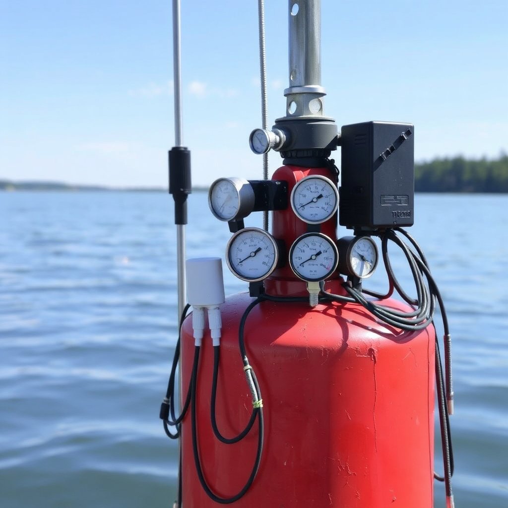
The lake uses a variety of tools like electronic gauges, pressure sensors, and satellite data to monitor water levels precisely. These instruments send live readings to centralized systems.
Combining these technologies ensures reliable tracking that supports dam management and public information.
For further detailed information on Lake of the Ozarks and its water management, visit the official Lake of the Ozarks Wikipedia page. Lake of the Ozarks management details.
Benefits of Real-Time Monitoring
Real-time data allow dam operators to make timely decisions and help residents and visitors stay informed about lake conditions.
This monitoring reduces surprises from sudden water level changes and improves safety for those who rely on the lake for recreation and livelihood.
Comparison of Lake of the Ozarks Water Level Categories
This table compares typical lake water levels and their effects on recreation and safety at Lake of the Ozarks.
| Water Level Category | Elevation (feet) | Common Conditions | Impact on Recreation |
|---|---|---|---|
| Low Pool | below 650 | Exposed shoreline, limited boat access | Reduced boating and fishing areas |
| Normal Lake Level | around 660 | Stable water, full recreational access | Ideal for all water activities |
| High Pool | above 665 | Flood risk near shorelines | Potential boating hazards, increased erosion |
| Flood Stage | above 670 | Warning levels for flooding downstream | Restricted water activities, closures likely |
Frequently Asked Questions
What is the typical full pool elevation at Lake of the Ozarks?
The typical full pool elevation at Lake of the Ozarks is approximately 660 feet above sea level, set by the U.S. Army Corps of Engineers.
How often does the lake level change?
Lake levels can change daily due to weather, dam operations, and seasonal factors, with more significant shifts during storms or droughts.
Where can I find current Lake of the Ozarks water level information?
Current water levels are available on the U.S. Army Corps of Engineers website and local monitoring services that provide real-time data.
How do lake level changes affect boating?
Low lake levels can restrict boat ramp use and dock access, while high levels may create hazards; normal levels provide the safest conditions.
Are lake levels managed for flood control?
Yes, dam operators adjust lake levels to help prevent flooding downstream, sometimes lowering water levels preemptively in anticipation of heavy rains.
Key Takeaways
- The normal lake level at Lake of the Ozarks is about 660 feet above sea level.
- Lake levels fluctuate seasonally due to weather, inflows, and dam management.
- Real-time monitoring is essential for safe recreation and effective water management.
- Water level changes impact recreational activities, environmental health, and local economies.
Conclusion
Choosing the right approach to understanding Lake of the Ozarks' lake level involves recognizing its baseline full pool elevation around 660 feet. Awareness of this standard helps residents, visitors, and businesses anticipate changes, enhancing safety and enjoyment. Monitoring seasonal shifts and the influence of dam operations offers a deeper understanding of local water dynamics and prepares users for varied lake conditions.
If you primarily enjoy boating or fishing, planning your visits around the normal lake level will maximize access and safety, especially in spring and summer when levels tend to approach full pool. For property owners, understanding periodic fluctuations—often influenced by flood control measures or droughts—is critical. Interactive tools and official updates can guide your timing, whether you're a casual visitor or a local stakeholder.
Stay proactive by subscribing to U.S. Army Corps of Engineers updates and leveraging community resources that report current lake levels. This way, you can adapt your activities and decisions based on accurate water level data. In all, the normal lake level serves as a reliable benchmark for assessing lake conditions and planning your experience at Lake of the Ozarks.



One Comment