What Is a Lake Level? Understanding Its Importance and Measurement
A lake level refers to the height or elevation of the surface of a lake relative to a fixed reference point, often sea level. It indicates the volume of water contained in the lake at any given time and fluctuates due to a combination of natural and human-influenced factors.
Tracking lake levels is important because changes can affect ecosystems, water supply, flood control, and recreational activities. Low lake levels may expose shoreline habitats or affect water quality, while high lake levels can lead to flooding and erosion. Understanding lake levels helps scientists, environmental managers, and communities make informed decisions.
This article will explain the concept of lake level, methods used to measure it, the factors influencing its changes, and its implications for environmental and human use. You will also find comparisons of different lake types and answers to common questions about lake levels.
Defining Lake Level and Its Significance

What Does Lake Level Mean?
Lake level is the vertical position of the water’s surface in a lake compared to a known baseline, such as mean sea level or a fixed gauge near the lake. It reflects how much water is present and is usually expressed in units like meters or feet.
This measurement is key to understanding the lake’s volume, which impacts local climate, aquatic habitats, and water availability for surrounding communities. Knowing the lake level helps predict potential flooding or drought conditions.
Why Monitoring Lake Levels Matters
Fluctuations in lake levels can influence recreational uses such as boating and fishing, affect water withdrawals for irrigation and municipal supply, and change habitats for plants and animals dependent on shoreline environments.
Changes in lake levels can also signal environmental issues like drought, climate variability, and land use changes, making monitoring essential for water resource planning and ecosystem management.
How Lake Levels Are Measured

Traditional Measurement Methods
Historically, lake levels were measured using staff gauges—graduated poles installed at a fixed point along the shoreline—allowing observers to visually track changes in water height.
Manual readings from these gauges were recorded at regular intervals, providing long-term data, though the method depends on human presence and can be less precise during extreme weather.
- Staff gauge observation
- Manual handwriting of water heights
- Periodic measurements
Modern Automated Instruments
Today, electronic sensors such as pressure transducers, radar, and ultrasonic gauges measure lake water levels continuously, often sending data remotely in real time.
These technologies offer higher accuracy, allow for less human error, and ensure timely data collection for better water resource management and early warnings.
- Pressure sensors
- Radar level transmitters
- Remote data transmission
Natural Factors Affecting Lake Levels

Precipitation and Evaporation
Lake levels rise primarily due to precipitation such as rain and snowmelt feeding the lake. Conversely, evaporation caused by temperature and wind can reduce the water volume, lowering lake levels.
Seasonal changes and climatic patterns like droughts or heavy rainfall cycles can lead to significant short- and long-term fluctuations in water levels.
For more on this, see our related guide: What Is the Normal Lake Level at Lake of the Ozarks? A Detailed Guide.
Geological and Hydrological Influences
Groundwater inflows, outflows through streams, rivers, or artificial channels, and sedimentation can subtly or drastically alter lake levels over time.
Events such as landslides or human interventions like dam construction also modify lake basins, impacting how water is stored and released.
Human Impacts on Lake Level Variations

Water Use and Management
Extraction of water for agriculture, industry, and urban use can lower lake levels, especially in closed-basin lakes with limited natural inflows and outflows.
Water management infrastructure like dams and diversion channels help regulate levels but can also cause unnatural fluctuations affecting ecosystems downstream.
Land Development and Pollution Effects
Urban development around lakes often leads to increased runoff, sedimentation, and pollution, which may influence water retention and quality, indirectly altering lake levels.
Deforestation and drainage projects can disrupt natural water cycles feeding lakes, causing more extreme level variations.
Interpreting Lake Level Data for Environmental Health
Ecological Indicators
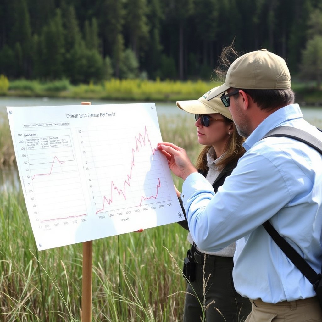
Stable lake levels usually support rich biodiversity by maintaining consistent habitats, while extreme drops or rises can threaten species adapted to certain depth ranges.
Tracking lake level trends helps identify ecological stress, habitat loss, or recovery and guides conservation efforts.
For more on this, see our related guide: How to Choose a Lake Community for Your Ideal Waterfront Living.
Flood and Drought Preparedness
Monitoring lake levels assists in forecasting potential flooding risks during heavy rains or snowmelt and helps prepare for drought conditions by alerting resource managers to water shortages.
Timely data supports emergency planning for humans and ecosystems reliant on the lake.
Comparing Lake Levels Across Types of Lakes
Natural Lakes vs. Reservoirs
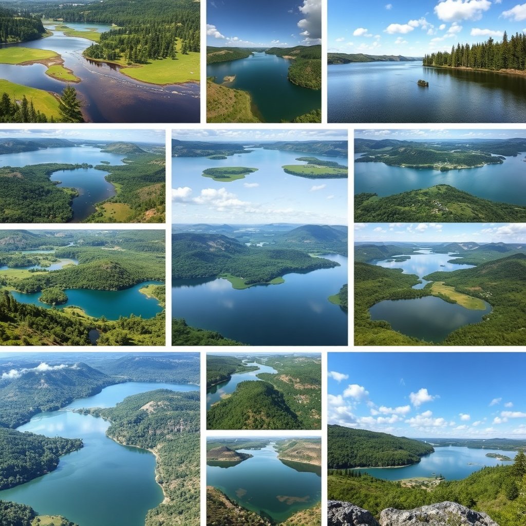
Natural lakes often experience seasonal and climatic variations, with lake levels influenced by rainfall and watershed conditions.
Reservoirs have managed water levels controlled by human intervention for purposes like hydroelectric power, irrigation, or flood control, leading to less natural variability.
For a detailed overview, the Wikipedia article on lake level measurement offers foundational concepts and examples. Lake Level measurement on Wikipedia.
Closed-Basin Lakes Compared to Drainage Lakes
Closed-basin lakes have no outlet streams, so lake levels depend heavily on precipitation and evaporation, causing significant level changes.
Drainage lakes connect to rivers or streams, providing steady inflow and outflow, which tends to stabilize their water levels over time.
Lake Level Types and Their Characteristics
This table compares different lake types based on how their levels fluctuate and managed factors.
| Lake Type | Natural vs. Managed | Typical Level Variability | Common Uses |
|---|---|---|---|
| Natural lake | Natural | Moderate to high seasonal variation | Recreation, habitat, water supply |
| Reservoir | Managed | Controlled, lower natural variation | Hydropower, irrigation, flood control |
| Closed-basin lake | Natural | High fluctuation due to climate | Ecological habitat, salt accumulation |
| Drainage lake | Natural | More stable due to stream outlet | Recreation, fisheries |
Frequently Asked Questions
How often do lake levels change?
Lake levels can change daily, seasonally, or over years depending on precipitation, evaporation, inflow and outflow, and human activities.
Can lake levels indicate drought?
Yes, falling lake levels often signal drought conditions and reduced water availability in the region.
What tools are used to measure lake levels today?
Modern measurements use pressure sensors, radar, ultrasonic gauges, and remote data collection technologies for accurate monitoring.
Do human activities impact lake levels?
Absolutely. Water extraction, damming, land development, and pollution all influence lake level fluctuations.
Why are lake levels important for ecosystems?
Stable lake levels support aquatic habitats and biodiversity; extreme changes can disrupt plant and animal life.
Key Takeaways
- Lake level means the water surface height relative to a fixed reference point.
- Both natural factors and human actions influence lake level changes.
- Modern sensors provide continuous and accurate lake water level measurement.
- Understanding lake levels helps manage water resources and protect ecosystems.
Conclusion
Understanding what a lake level is and how it fluctuates provides a foundation for interpreting environmental health and managing water resources. Monitoring lake levels helps identify changes caused by weather patterns, geological processes, or human intervention, allowing for informed decisions. This approach combines reliable measurement techniques with awareness of natural and anthropogenic factors shaping lake dynamics.
For those involved in environmental management, water resource planning, or recreational use, knowledge about lake water level measurement is essential. Natural lakes typically have higher seasonal variability compared to reservoirs, which are managed to stabilize levels. Closed-basin lakes often exhibit more dramatic changes due to limited inflows and outflows, while drainage lakes maintain steadier water extents. Identifying your lake type can guide appropriate monitoring and intervention strategies.
If you want to understand the current status of a lake or plan interventions, starting with reliable and continuous lake level data is crucial. Engage with local water authorities or environmental agencies to access measurement data, and consider how local climatic and human factors may influence the lake. Proper lake level analysis supports sustainable ecosystem management and community water needs.