How to Get a Survey for a Lake Lot: A Step-by-Step Guide
Getting a survey for a lake lot starts with finding a qualified land surveyor who can accurately map your property boundaries, water lines, and any easements or features unique to waterfront land. This survey ensures you understand your lot’s exact limits, which helps prevent disputes and protects your investment.
Lake lots pose special challenges compared to typical land parcels because of fluctuating water levels, shoreline erosion, and environmental protections. Accurate surveys are crucial for building permits, docking rights, and legal clarity, making it clear why a detailed lakefront property survey matters.
This article will walk you through the process of obtaining a lake lot survey, including how to select a surveyor, what kind of surveys are available, what to expect during the process, and how to interpret your results. You'll also find tips for handling common lake lot surveying issues.
Understanding Lake Lot Surveys
Types of Surveys for Lakefront Properties
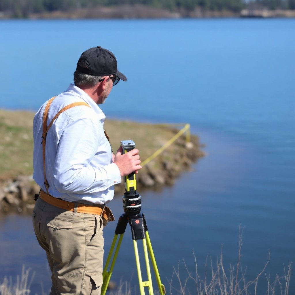
Surveyors offer various services depending on your specific needs, including boundary surveys, topographic surveys, and wetland delineations. A boundary survey establishes your property lines, while a topographic survey maps elevation and features, especially near the water. Wetland delineation is vital if your lake lot has protected areas.
Knowing which survey suits your situation saves time and money. For example, a boundary survey is essential for legal ownership clarity, but if you plan construction, adding a topographic survey helps with design. Consider local regulations that may mandate specific survey types for lake lots.
- Boundary Survey
- Topographic Survey
- Wetland Delineation Survey
- Subdivision Survey
Why Surveys Are Important for Lake Lots
Lake lots are susceptible to environmental changes like shoreline erosion and water level fluctuations, which can impact property boundaries over time. A reliable survey captures these changes and provides a clear, legally defensible document.
Surveys also help resolve disputes with neighbors, ensure compliance with zoning laws, and establish building setbacks. With lakefront land, precise knowledge of your property’s extent helps in securing docks or piers, handling insurance claims, and managing land responsibly.
Finding a Qualified Surveyor for Your Lake Lot
Where to Look for Lakefront Surveyors
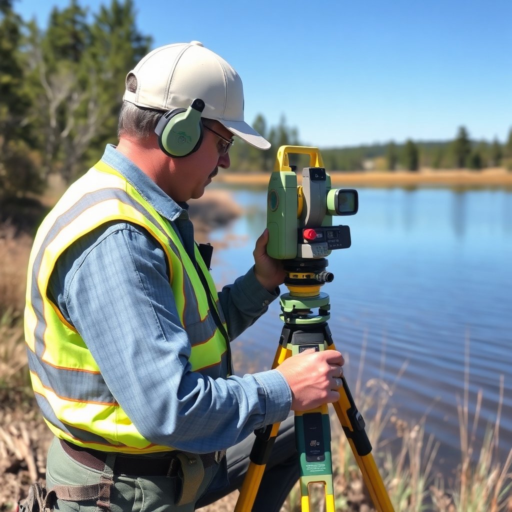
Start by searching for licensed land surveyors with experience in lakefront or waterfront properties, as these require special skills. You can find professionals through state land surveying boards, local builders’ associations, or referrals from lakefront neighbors.
Check online directories and review local survey firms’ project portfolios for relevant experience. Surveyors familiar with water boundaries and environmental regulations common to lake lots are best equipped to handle your needs.
- State licensing boards
- Local real estate agents
- Lakefront homeowner associations
- Online professional directories
Questions to Ask Before Hiring
When interviewing potential surveyors, ask about their experience with lake lots, what surveying techniques they use, and how they handle shoreline changes or disputes. Request references from previous lakefront clients and verify their licenses and insurance.
Discuss expected timelines, costs, and deliverables upfront. Clarify if they provide electronic copies of surveys and if they help with filing documents with local authorities, which can ease your process significantly.
- Are you licensed in this state?
- Have you surveyed lakefront properties before?
- What methods do you use for shoreline boundary determination?
- Do you provide documentation for permits and local agencies?
Preparing for the Survey Process

Gathering Required Documentation
Before the survey begins, collect all relevant documents such as your deed, previous surveys, and any recorded easements or covenants. These papers help surveyors establish baseline property limits and identify any conflicting claims.
Having accurate legal descriptions from your deed simplifies the surveyor’s work and ensures they focus on the correct boundaries. If the deed references metes and bounds, the surveyor will physically verify those measurements on-site.
- Current deed with legal description
- Prior survey reports or plats
- Title insurance documents
- Homeowners association regulations
For more on this, see our related guide: How to Buy Land on a Lake: Your Complete Lakeside Property Guide.
On-Site Survey Preparation
Clear access to boundaries and corners by trimming brush or notifying neighbors in advance can speed up the on-site work. Marking any private markers you know of helps surveyors confirm or replace them.
Prepare to accompany the surveyor during fieldwork if possible. Your knowledge of the property can inform them about past changes in the shoreline or any unrecorded features like docks or fences.
- Clear overgrown vegetation near boundaries
- Inform neighbors of survey schedule
- Mark visible boundary markers
- Be available to answer questions on-site
Interpreting Your Lake Lot Survey Results
Understanding Survey Maps and Reports
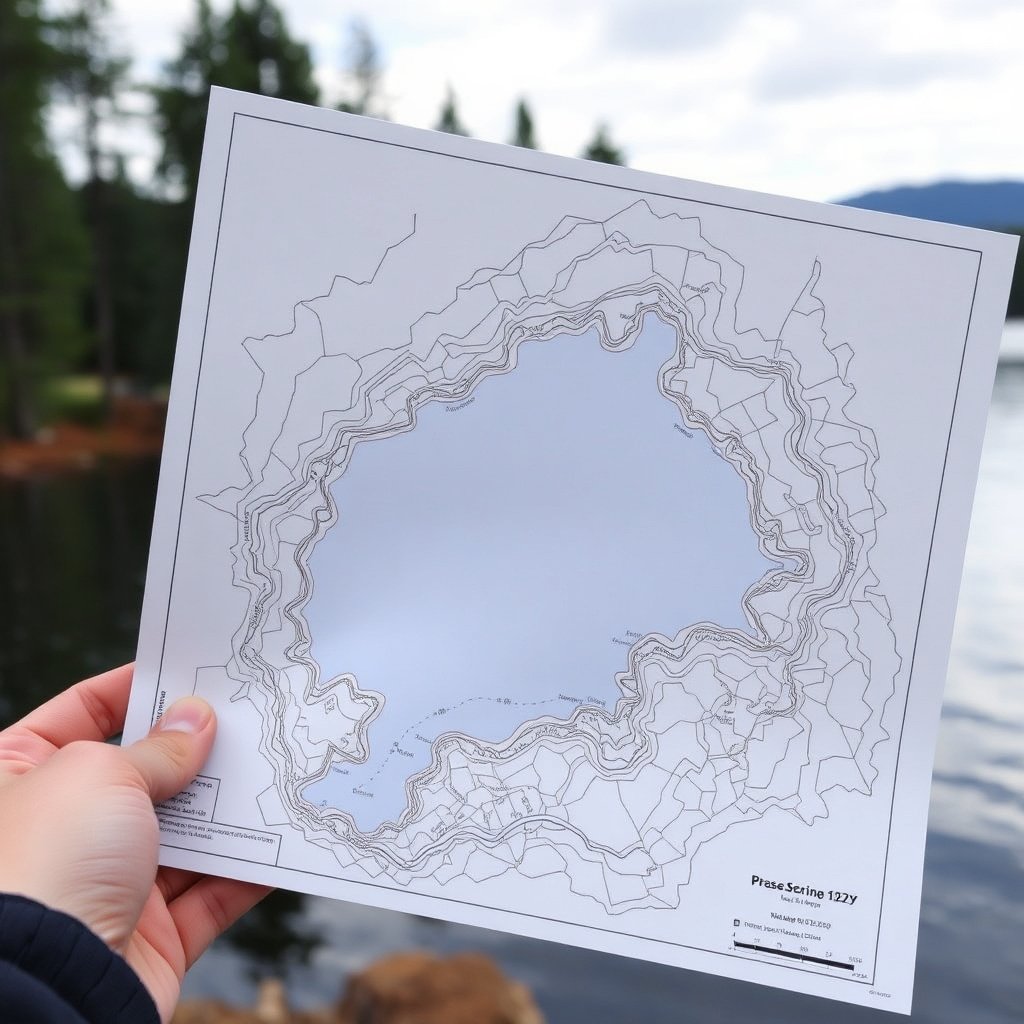
Survey reports illustrate the exact boundaries using detailed maps with coordinates and measurements. Pay attention to any easements, setbacks, and floodplain lines indicated. These can affect how you use the lakefront and where you may build docks or patios.
Survey documents often include notes on water levels at the time of the survey and any visible encroachments. Understanding these details is key for future projects, property disputes, or resale.
Addressing Potential Discrepancies
Sometimes survey results reveal discrepancies between the current boundaries and those recorded in older documents due to natural changes or past errors. If discrepancies arise, discuss resolution options with your surveyor or a real estate attorney.
Resolving boundary issues early helps avoid costly disputes with neighbors or regulatory problems. You may need to file corrected plats with your county or negotiate agreements on boundary lines.
Legal and Environmental Considerations for Lake Lot Surveys

Regulatory Permits and Restrictions
Lakefront properties often fall under additional zoning rules, environmental protections, and waterway regulations. Surveys can determine if your lot is subject to setbacks from the water, conservation easements, or building restrictions tied to wetlands.
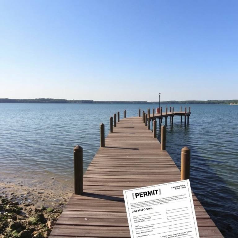
Before finalizing construction or landscaping plans, check with local government offices to confirm which permits require survey documentation. This can prevent costly fines or forced removals later.
For more on this, see our related guide: How to Buy a Lake Lot: A Practical Guide for Your Waterfront Property.
Protecting Shoreline and Wetland Areas
Environmental laws often protect delicate shorelines and wetlands, making surveys critical to identifying protected zones on your lake lot. Certain areas may be off-limits for development or require buffer zones to reduce erosion and pollution.
A surveyor trained in wetland delineations can identify these areas and help you develop land responsibly. Understanding these limits early helps protect the ecosystem and your investment.
Cost Factors and Timeline for Getting a Lake Lot Survey

What Influences Price Variability?
Survey costs for lake lots depend on lot size, terrain complexity, type of survey, and accessibility. Properties with difficult shoreline access or that require specialized techniques like underwater boundary determination generally cost more.
Additional fees may apply for wetland surveys, legal research, or filing documents with local authorities. Request detailed estimates to compare service scopes and avoid surprise charges.
- Lot size and shape
- Shoreline complexity
- Survey types requested
- Regulatory filing fees
For more technical details about surveying methods used in land and water boundaries, review the information available on Land surveying on Wikipedia. Land surveying on Wikipedia.
Typical Timeline from Start to Finish
Scheduling and completing a lake lot survey usually takes 1-3 weeks depending on surveyor availability and environmental conditions. Fieldwork is often done within a day or two, but report preparation and filing can add time.
Weather can delay shoreline measurements, so plan accordingly if you have construction or closing deadlines linked to the survey. Early communication with your surveyor about timing helps keep your project on track.
Lake Lot Survey Types Comparison
This table compares the main types of lake lot surveys to help you decide which suits your property needs best.
| Survey Type | Purpose | Typical Cost Range | Ideal Use Case |
|---|---|---|---|
| Boundary Survey | Defines property lines | $500-$2,000 | Clarifying ownership and legal boundaries |
| Topographic Survey | Maps elevations and features | $1,000-$3,000 | Planning construction and landscaping |
| Wetland Delineation | Identifies protected wetlands | $1,500-$4,000 | Ensuring environmental compliance |
| Subdivision Survey | Divides property into lots | $2,000-$5,000 | Preparing land for sale or development |
Frequently Asked Questions
How often should I update my lake lot survey?
Updating a lake lot survey every 5-10 years is advisable, especially if you notice shoreline changes or plan significant construction.
Can I get a survey without visiting the property?
While some preliminary work can be done remotely, accurate lakefront surveys require on-site measurements to capture water boundaries and terrain.
Do lake lot surveys include underwater boundaries?
Some surveys may include underwater boundary assessments if necessary, but this requires specialized equipment and expertise.
Will a survey protect me from future boundary disputes?
An official survey establishes legal boundaries that can help resolve or prevent disputes, but ongoing maintenance and awareness are important.
What is the difference between a lake lot survey and a regular land survey?
Lake lot surveys account for water boundaries, fluctuating shorelines, and environmental factors not typically included in standard land surveys.
Key Takeaways
- Lake lot surveys clarify property boundaries and address unique waterfront challenges.
- Choosing a surveyor with lakefront experience improves survey accuracy and compliance.
- Preparing documents and access ahead of time simplifies the surveying process.
- Understanding survey results helps protect your investment and navigate regulations.
Conclusion
When getting a survey for a lake lot, focus on finding a licensed surveyor experienced with waterfront properties to ensure precise boundary and environmental assessments. Since lake lots face issues like shoreline erosion and regulatory restrictions, the survey must capture current conditions clearly and legally. Understanding your lot’s limits helps avoid costly disputes and supports any future developments or improvements.
Different survey types serve different goals: boundary surveys define ownership, while topographic and wetland surveys help with construction planning and environmental compliance. Depending on your needs, selecting the appropriate survey can save money and speed up projects. For minor ownership questions, a boundary survey is usually sufficient, but adding a topographic survey is wise for building near water. If protected wetlands exist, a wetland delineation is essential to comply with local laws.
Start by researching qualified lakefront surveyors and gather your deeds and past documents before scheduling the work. Be ready to provide clear access and collaborate during fieldwork. Once you receive your survey, review it carefully and consult a real estate professional if discrepancies arise. Taking these steps will provide confident ownership of your lake lot and peace of mind for your waterfront lifestyle.



One Comment