Lake of the Ozarks Size: Everything You Need to Know About Its Dimensions
The Lake of the Ozarks covers approximately 54,000 acres, making it one of the largest reservoirs in Missouri. It boasts over 1,150 miles of shoreline and stretches about 93 miles in length, providing a massive recreational area. This man-made lake was created by damming the Osage River and serves both flood control and hydroelectric power generation.
Understanding the Lake of the Ozarks size matters not only for planning vacations but also for knowing the scope of activities it supports, from boating and fishing to waterfront real estate. Its expansive size offers diverse ecosystems and extensive shoreline access, which can be surprising given its man-made origins compared to natural lakes.
This article breaks down key measurements of the Lake of the Ozarks size such as its surface area, shoreline length, volume, and average depth. We'll also compare it to other lakes regionally, discuss the impact of seasonal water levels, and what the size means for recreational users and residents.
Understanding Surface Area and Shoreline Length of Lake of the Ozarks
Surface Area Explained
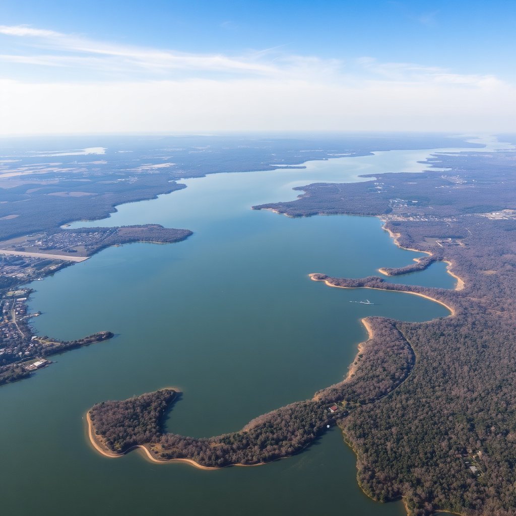
The Lake of the Ozarks spans roughly 54,000 acres at normal pool levels, which ranks it among the largest lakes in Missouri by area. This vast surface area supports numerous water sports and aquatic habitats. The lake's shape is highly irregular, formed by meandering river bends, which contributes to its extended shoreline length relative to its surface area.
Having such a generous surface area means many recreational activities can coexist without overcrowding, including sailing, jet skiing, and fishing. The lake’s broad reach also means that inflows and outflows vary across the lake, influencing water quality and ecosystems differently depending on the location.
Shoreline Length and Its Implications
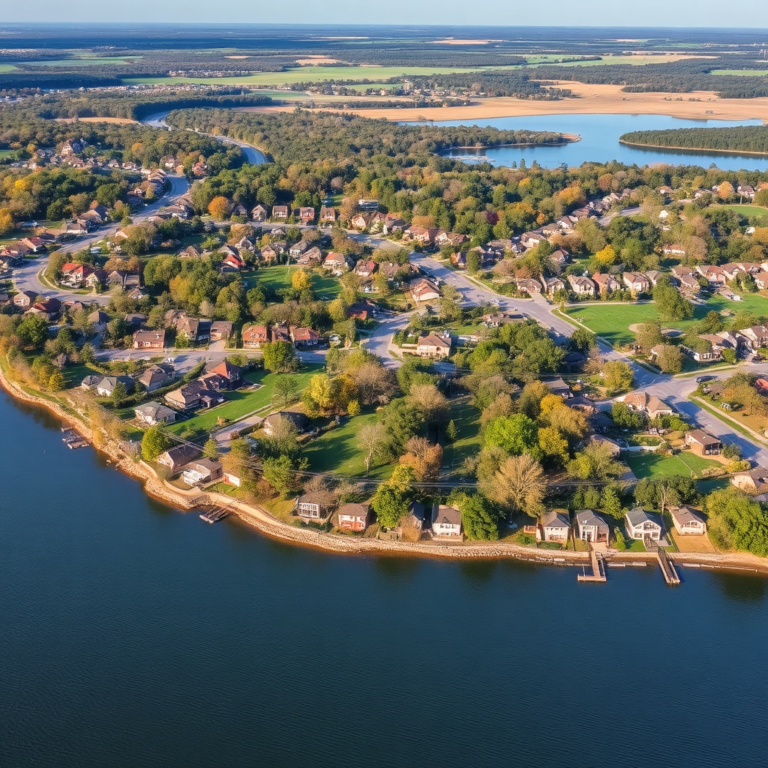
Lake of the Ozarks features more than 1,150 miles of shoreline, which is unusually long compared to other lakes with similar surface areas. This is because the lake was formed by flooding the Osage River and its tributaries, creating numerous coves and inlets.
An extensive shoreline means a variety of waterfront property options, many secluded coves for private docks, and diverse habitats for fish and wildlife. For boaters and anglers, it offers plenty of spots to explore and settle, but this vast shoreline can also make navigation challenging for those unfamiliar with the lake’s twists and turns.
Volume and Depth Characteristics of Lake of the Ozarks
Average and Maximum Depths
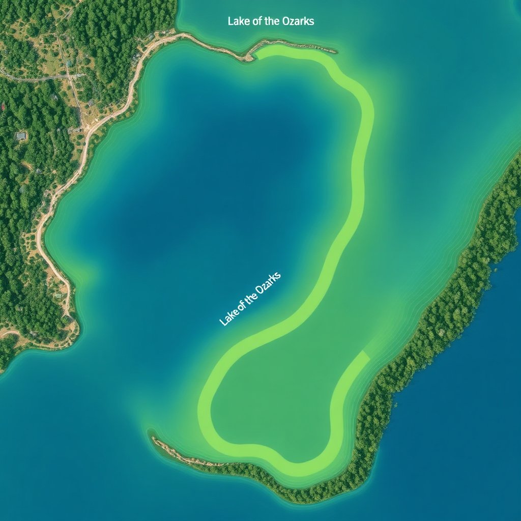
The average depth of the Lake of the Ozarks is about 43 feet, with maximum depths reaching approximately 130 feet in certain channels. The depth varies significantly, with many shallow areas near the shore ideal for swimming and fishing, contrasted by deep zones where larger fish species thrive.
These depth variations influence the thermal stratification during warmer months, affecting fish behavior and water quality. Boaters should be aware of sudden depth changes, especially around submerged structures or natural river channels now underwater.
Total Water Volume
The lake holds about 1,993,000 acre-feet of water at full pool. This volume is critical for the hydroelectric power plant operation at Bagnell Dam, which controls water levels throughout the year while balancing recreational and ecological needs.
Water volume fluctuations depend on rainfall, dam release schedules, and seasonal changes. These fluctuations affect shoreline exposure, mudflat formation, and boat ramp availability, influencing the seasonal dynamics of lake usage.
Comparing Lake of the Ozarks Size to Other Missouri Lakes
Surface Area Comparison
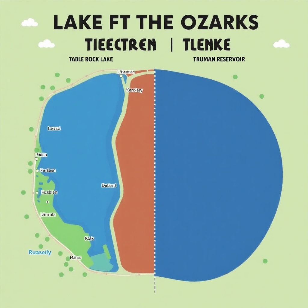
Lake of the Ozarks ranks as the largest lake entirely within Missouri in terms of surface area, slightly larger than Table Rock Lake’s 43,100 acres but smaller than Truman Reservoir’s approximately 55,600 acres. Each has distinct shoreline characteristics affecting recreational use.
While Truman Reservoir surpasses it slightly in surface area, Lake of the Ozarks' irregular shoreline provides more than double the miles of accessible waterfront, offering unique advantages for property owners and visitors.
For more on this, see our related guide: Which Lake of the Ozarks Area is the Best for Your Next Visit?.
Recreational and Ecological Impact
Comparing these lakes shows how size correlates with recreational diversity. Lake of the Ozarks’ size supports a wide variety of water activities year-round, and its extensive shoreline supports robust residential development and tourism industries.
The ecological differences between these lakes also stem from their size and shape. Lake of the Ozarks has numerous coves and tributaries, fostering diverse fish populations, while more compact lakes may have different species distributions due to habitat uniformity.
Seasonal Size Variations and Their Effects on Lake of the Ozarks
Water Level Fluctuations Throughout the Year
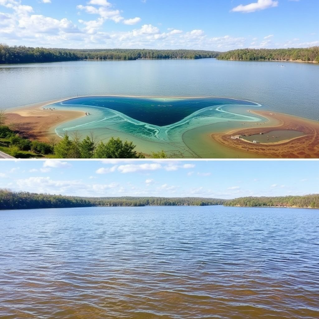
Lake of the Ozarks experiences seasonal variations in size, especially shoreline exposure and water depth, due to dam management and natural rainfall cycles. Water levels often drop a few feet during winter and spring drawdowns to manage flood risk and prepare for spring rains.
These changes can affect boating access, shoreline erosion patterns, and habitat availability. Knowing the typical timing and magnitude of these adjustments helps visitors and residents plan for seasonal impacts.
Impact on Recreational Activities
Lower water levels can expose mudflats and reduce marina accessibility, requiring boaters and fishermen to adapt. Conversely, higher summer levels usually coincide with peak recreation, maximizing shoreline accessibility and water depth.
Some coves may become too shallow for certain boats during low water periods, which can affect fishing spots and water sports. Local authorities often provide updates to help users adjust plans accordingly.
Navigating the Size: Practical Tips for Visitors and Locals
Using Maps and GPS for Lake Navigation
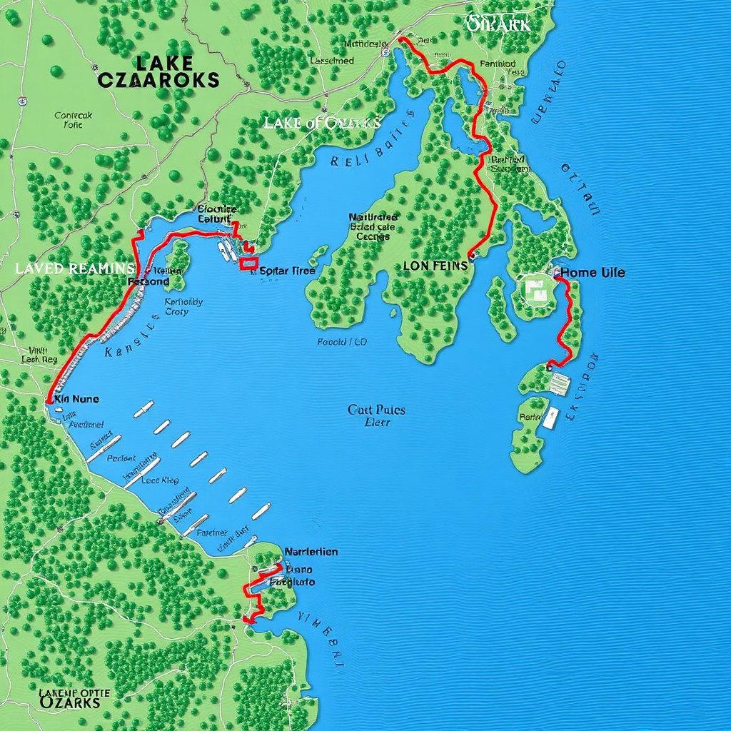
With more than 1,150 miles of shoreline and winding channels, navigating the Lake of the Ozarks can be challenging without proper tools. Detailed maps, GPS devices, and local marina charts are essential for safe boating and finding points of interest.
Many boaters rely on apps specifically designed for this lake, which show water depth, hazards, and marinas. Planning routes with these resources reduces the risk of running aground or missing popular spots.
For more on this, see our related guide: How to Choose a Lake House: Essential Tips for Your Perfect Waterfront Retreat.
Choosing the Right Watercraft for Lake Size
Due to the lake’s substantial size and variable depths, selecting an appropriate type of boat is important. Smaller boats are great for exploring coves, while larger pontoons accommodate groups and longer trips across open water.
Watercraft with shallow drafts also help explore more intricate shallow areas near shorelines, while faster boats benefit from the lake’s open areas. Matching boat size and type to your intended activities maximizes enjoyment.
Environmental Considerations Related to Lake of the Ozarks Size

Impact of Lake Size on Ecosystems
The lake's vast area supports diverse aquatic habitats, from shallow wetlands to deep channels, fostering various fish species such as bass, catfish, and crappie. Shoreline vegetation varies along the extensive perimeter, offering critical breeding grounds.
Large size also means managing water quality is more complex, with runoff from surrounding residential and commercial developments affecting different parts of the lake unevenly.
For in-depth historical and technical details about the Lake of the Ozarks size and formation, visit the Lake of the Ozarks Wikipedia page. Lake of the Ozarks Wikipedia page.
Human Activity and Environmental Balance
Given its size, the lake sees high human activity, which can lead to shoreline erosion, pollution, and habitat disruption if unchecked. Local conservation efforts focus on monitoring water quality, controlling invasive species, and educating users about sustainability.
Awareness of how the lake’s size influences environmental dynamics can help residents and visitors support policies that balance recreation and preservation.
Comparison of Major Missouri Lakes by Size and Shoreline
Here's how Lake of the Ozarks compares with other popular Missouri lakes in terms of surface area, shoreline, and typical recreational use.
| Lake | Surface Area (acres) | Shoreline Length (miles) | Max Depth (feet) |
|---|---|---|---|
| Lake of the Ozarks | 54,000 | 1,150+ | 130 |
| Truman Reservoir | 55,600 | 750 | 87 |
| Table Rock Lake | 43,100 | 779 | 220 |
| Pomme de Terre Lake | 7,800 | 150 | 80 |
| Lake Taneycomo | 2,600 | 25 | 40 |
Frequently Asked Questions
What is the exact surface area of Lake of the Ozarks?
Lake of the Ozarks covers about 54,000 acres at full pool, making it one of Missouri's largest lakes by surface area.
How long is the shoreline of Lake of the Ozarks?
The shoreline extends over 1,150 miles, due to the lake's irregular shape with many coves and inlets.
What is the average depth of Lake of the Ozarks?
The lake has an average depth around 43 feet, with certain areas reaching depths near 130 feet.
Does the size of Lake of the Ozarks change seasonally?
Yes, water levels and shoreline exposure vary seasonally because of dam operations and rainfall patterns, impacting lake size notably.
How does the size of Lake of the Ozarks impact recreational activities?
Its size allows diverse water sports to coexist comfortably, offering space for boating, fishing, and swimming without overcrowding.
Key Takeaways
- Lake of the Ozarks spans approximately 54,000 acres with over 1,150 miles of shoreline.
- The lake's average depth is 43 feet, reaching up to 130 feet in some areas.
- Seasonal water level changes directly affect lake size and recreational access.
- Comparatively, it has the most extensive shoreline among Missouri lakes with similar surface areas.
Conclusion
When evaluating the Lake of the Ozarks size, it’s clear that its expansive surface area combined with its extraordinarily long shoreline creates a varied and extensive water recreational environment. Understanding these dimensions allows visitors, residents, and planners to appreciate the volume of water and complexity of shoreline access this man-made lake offers. Its irregular shape, formed by flooding the Osage River valley, contributes to the unique opportunities and challenges in managing such a vast body of water.
For those seeking large-scale boating, fishing, or waterfront real estate, the Lake of the Ozarks presents an ideal combination of space and variety. Compared to other Missouri lakes like Table Rock or Truman Reservoir, it offers incomparable shoreline diversity for private docks and secluded coves. The average and maximum depths support a healthy fish population and a range of water activities, while seasonal fluctuations require some planning to maximize enjoyment and safety.
If you plan to spend time on or near the lake, understanding the size and seasonal changes can guide your boating equipment choices and activity plans. Preparing with detailed maps and up-to-date water level information helps navigate the lake's expansive 1,150 miles of shoreline. Whether fishing, sailing, or buying property, appreciating the lake’s size is the first step to an enjoyable experience.